
Walking · night
· walking
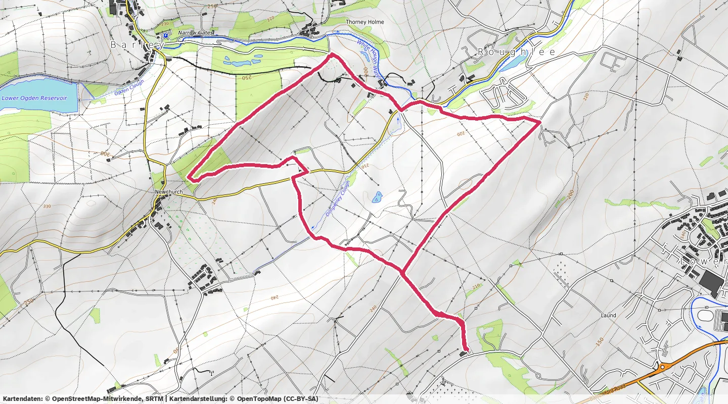
Start and finish trimmed for privacy.
- 1:39:00Time
- 6.83kmDistance
- 115bpmHeart rate
- 960kcalCalories
- 18:28/kmPace
- 157bpmMax heart rate
Evening walk with Burnley Mountaineering and Fellwalking Club from the Sparrowhawk, taking in the fields around Newchurch, Roughlee and Thorney Holme.


Best efforts
Fastest distances
- 400 m
- 4:24
- 1 km
- 12:35
- 5 km
- 1:29:04
Best sustained speed
- 20 min
- 4.4km/h
- 60 min
- 3.6km/h
Fastest ascents
- 100 m up
- 35:25
Highest heart rate
- 20 min
- 129bpm
- 60 min
- 121bpm
Leave a reply
Have your own site? Link to this page and send a webmention — it'll appear here. Otherwise, use the form.